Mountains
The Rif runs along the Mediterranean coast in the north. The Middle Atlas holds cedar forests and lakes. The High Atlas contains Jbel Toubkal, at 4,167 metres the highest peak in North Africa. The Anti-Atlas fringes the Sahara in the south-west.
Desert and oases
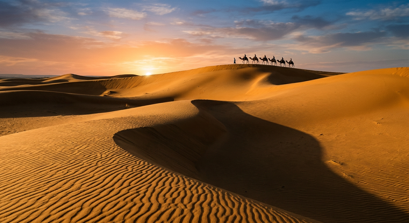
The pre-Saharan and Saharan south is a landscape of rocky plateaus, wadis, palm oases and sand seas such as Erg Chebbi near Merzouga and Erg Chigaga near M'Hamid.
Coastline
Morocco has coasts on both the Atlantic Ocean and the Mediterranean Sea. The Atlantic coast hosts the largest cities and ports, from Tangier to Agadir, and continues south to Dakhla.
Rivers and lakes
The Oum Er-Rbia, Sebou, Moulouya and Draa are among the major rivers. Dams on these rivers store water for irrigation and electricity, and lakes such as Bin el Ouidane are popular for recreation.
Climate zones
Morocco has a Mediterranean climate in the north, an Atlantic climate on the west coast, a continental climate inland, a mountain climate in the Atlas and an arid desert climate in the south.